The city in and of nature

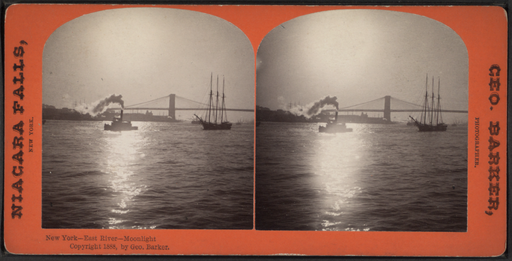
Monday night around 8:40 pm, I watched the East River flood its banks. It’s funny to think of the East River as even having banks. For so much of my life, I hardly thought of it as a river—or estuary, really. It was completely off limits—I didn’t drink from it, would never have swum in it and didn’t boat on it. I thought of it as sort of a giant drainage pipe, if I thought about it at all. But one week ago, like a “real” river, it flooded and was an amazing thing to see. There is a park that runs along the river, and inside the park are soccer fields and on those soccer fields were giant floodlights illuminating what had turned from a strictly bounded river into a contiguous field of water. I had to look twice as it was such an unexpected sight. On the other side, I could see water coming over the FDR drive and into a parking lot, then halfway into a basketball court behind my building. Just as I was wondering whether it would make it to me, yes, me personally, a giant flash lit up the sky and the power cut out. I can’t remember if there was an actual “zzzzt!” but it sure seemed like it.
The next day the power still wasn’t on, and slowly, through a series of encounters with neighbors and friends while walking the streets, as what else does one do in New York City when there’s been a disaster but walk, we found out the scale of the damage. The City had been breached by Nature, definitively, and it was an unsettling thing. Later, we talked to Anselm Berrigan and Karen Weiser, neighbors and friends. Anselm, like me, had also grown up in New York, and we talked about how the subway always seemed to run, no matter what horrors outside, and we didn’t remember trees falling, or limbs falling from trees (of course, there were a lot less trees back then—an old postcard I kept on my wall at college showed the exact same street scene variously captioned “New York in Summer/New York in Winter/New York in Fall” and so on). I don’t remember hawks living in parks, mosquitoes or small crabs in the water at Coney Island. Instead, NYC was all relentless urbanity, stretching for miles until we could escape through a tunnel into the mysterious green lands beyond.
So now they’re talking about building a giant wall to protect Manhattan. But the water would bounce off this wall and drown parts of Brooklyn and Queens instead. “Zone A” evacuation zones in Manhattan are more often than not public housing. On the map, there’s a strange “zone A” blob that pushes away from the river and into the East Village proper—more public housing, perhaps located on an ancient stream bed that was never properly filled in. So there was a certain awareness of the treacherous geological dips and valleys when planning the city. As for Battery Park City, the “exception,” well, someone fucked up and forgot not to build high-income housing in flood areas.
Nature's been creeping into the city, via bedbug, mosquitoe and green roofs, but this has been a giant slap: Here is the river, and wind, and water rises and trees fall, and heat causes all this. While the storm was nature, it was not natural--a hurricane in New York in October is not natural, and ironically because of it, the price of gasoline dropped a penny (or whatever) and power usage in the Northeast dropped drastically to probably what it should be to keep storms like this from happening more.
Geometries of landscape